Our Solutions

WhizMap+
WhizMap+ is an another unique product of Riddhi which is being used by many government departments in different states of India. In its continuous endeavor of more than 5 years (1993-1998) in technology and Software development, Riddhi came out with WhizMap, a user friendly GIS based solution for application in the social sector, in the year 1998.
Considerable development efforts were thereafter put into further enhancement of WhizMap to make it more feature- rich, flexible, modular, robust and user friendly. Substantial efforts were also required to validate, test and enhance the quality of the software, based on feedbacks received from thousands of users in live projects across the country.
The WhizMap+ solution was implemented in many areas of social sector like health, nutrition, education, decentralized planning in various states in India and abroad.
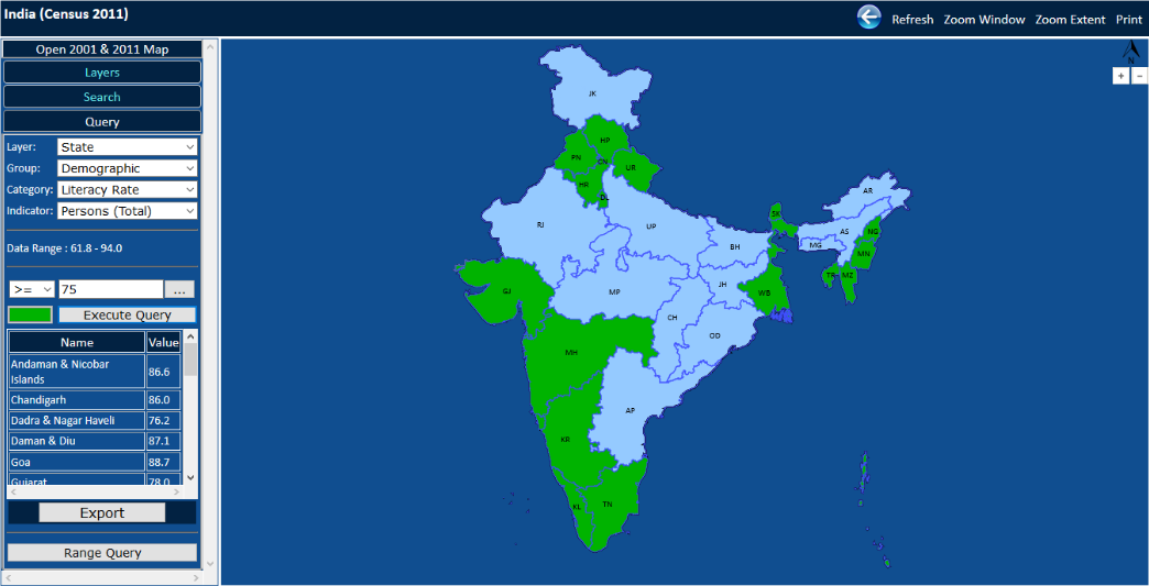
Government of India’s (Office of the Registrar General of India, Ministry of Home Affairs) prestigious web GIS application, Census GIS India 2001, runs on WhizMap
Quoting from Census India Government Portal ...... “Updating of the GIS tools, which were introduced and adopted since late 1990’s in the Census Organization, has speeded up the process and enhanced the quality of the maps. The Census Organization has the capability and the infrastructure for generating theme based maps using GIS but for use on the Internet, it was considered important to look for appropriate technology. In 2001, Census GIS India was a step in this direction, which allowed generating thematic maps based on Census data, on an interactive basis using GIS technology. A software was developed and available at the Census of India Website which allows generation of thematic maps based results of 2001 Census, free of cost and has become very popular among Government departments, NGOs, Universities, Research Scholars and other data users. This software in a way has de-mystified GIS and has now become a friendly tool to analyze Census data using GIS technology on the Internet”.
Riddhi released village level Census GIS of districts of India after Census 2011. Inter-alia, the system provides demographic information in each of the 6,40,867 revenue villages of India. Household data at revenue village level is also available at this site http://censusgis.org
