Our Services
Riddhi provide this services:

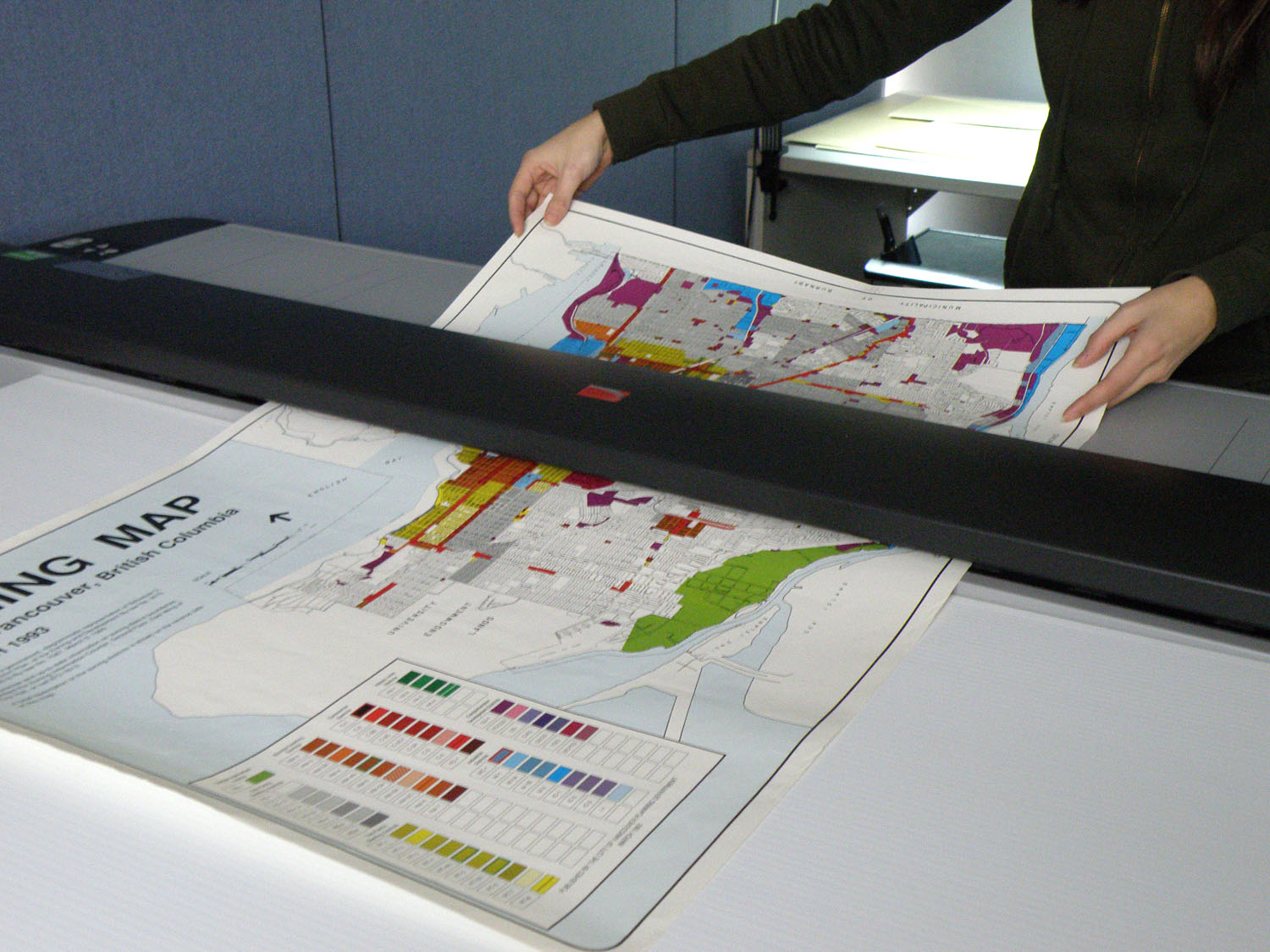
Scanning / Digitization / Vectorization
Riddhi is a service provider for CAD digitization and vectorization of engineering drawings, architectural drawings, as-built drawings and documents for digital archiving and CAD editing.
Riddhi has already demonstrated excellent service and quality in the field of digital services for 25+ years. Over the years, we served distinguished customers ranging from utilities, public sector, construction to many more industries.
We convert scan data into CAD models in 2D and 3D. These CAD models exactly present your plans and objects in your CAD system with graphics, geometric objects, icons, text and dimensions. They can be used for planning, engineering design and building survey.
We scan paper plans and deliver them as digital images. We also scan entire building and produce an accurate digital representation of these objects as point clouds. These digital scan data are very well suited for archiving and documentation.
GIS Services
Riddhi had the privilege of working with the Registrar General of India, Ministry of Home Affairs; Government of India for Census GIS India 2001 for developing a web based GIS, which encompasses the expansive database of Census of India from the State level of India to sub-district level.
Riddhi released village level Census GIS of districts of India after Census 2011. Inter-alia, the system provides demographic information in each of the 6,40,867 revenue villages of India. Household data at revenue village level is also available at this site. http://censusgis.org
Riddhi is the technical partner to Ministry of Rural Development (MoRD), GoI for MGNREGS spatial data analysis. Application developed by Riddhi is linked with the national website www.nrega.nic.in (GIS Report)
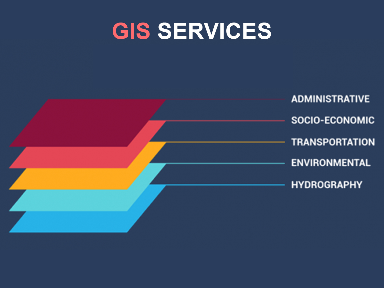
The GIS services rendered by Riddhi allow for the visualization of geographic data, analysis of spatial relationships, and efficient data management. The GIS data conversions allow data from different sources to be merged in one common format, which allows for easy access, analysis and utilization.
The vast expertise and experience allows Riddhi to integrate GIS, CAD and Global Positioning Systems (GPS) services, by using high-end GIS Mapping and GIS data conversions software. These services assist the customers to produce contour maps, spatial maps, atlas maps, cadastral maps, thematic and zonal maps, landscape maps, and environmental maps for host industries such as mining and geology, utility, agriculture, petroleum pipelines, land information management, and other GIS Mapping companies and Remote Sensing companies.
Riddhi provides GIS services with an all-inclusive solution for spatial data management to government and industrial organizations through GIS remote sensing services.


Technology Services
Riddhi provides professional services designed to facilitate the use of technology by enterprises and end users, according to business or enterprise requirements. Riddhi offers specialized technology-oriented solutions by combining the processes and functions of software, hardware, networks, telecommunications and electronics.
Technology services include:
- Software development, integration and maintenance
- Hardware
- Networking integration, management and maintenance
- Information security (IS)
- IT management consultants
- Mobile services
- Web applications
Riddhi has a vast experience on Geospatial, Microsoft, Java, Open Source, Rich Internet Application, Mobility and Web Server Maintenance and Management.
Consultancy Services
With robust advisory, technical and management skills along with strong domain knowledge, Riddhi provides professional consultancy services in private and public sectors for efficient, time bound and cost effective Project Implementation. This includes, Project scoping and Planning, Business process and system design, project implementation and management support.


Geodetic and DGPS Survey
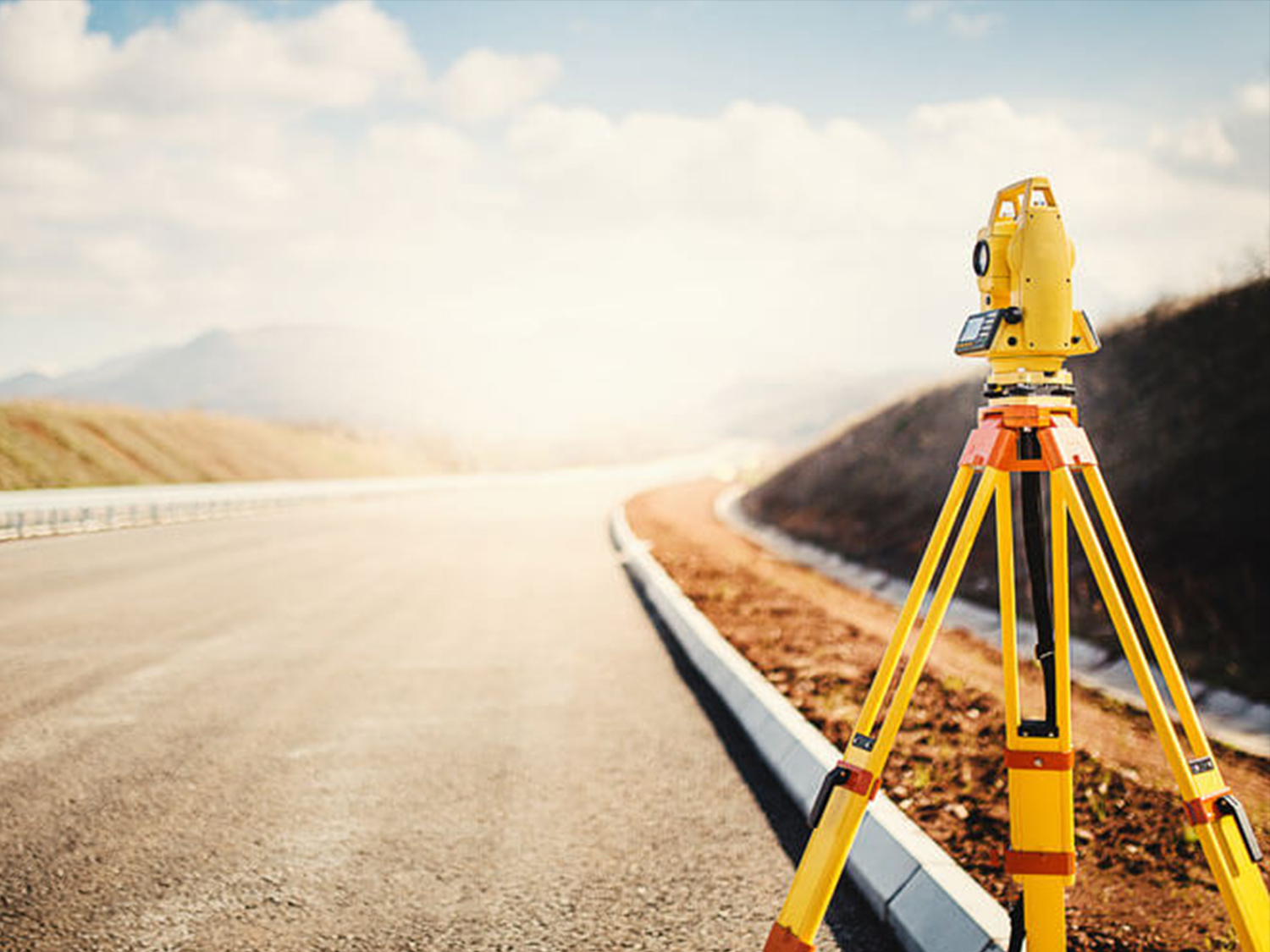
Riddhi provides wide range of Geodetic and DGPS survey services in different areas such as Construction, Architecture, Planning With Topographical Survey, Cadastral survey, Geophysical Survey, Contour Survey, GPS Survey, Total Station Survey, DGPS Survey, Land Survey, Remote Sensing etc.
In-house specialist team for providing Comprehensive Engineering, Land Surveying & Land Planning, experience ranges from single lot residential property to complex highway alignment designing, Due Diligence Survey audits, Differential Leveling, DGPS Surveys.
