Our Solutions

Hybrid + Map
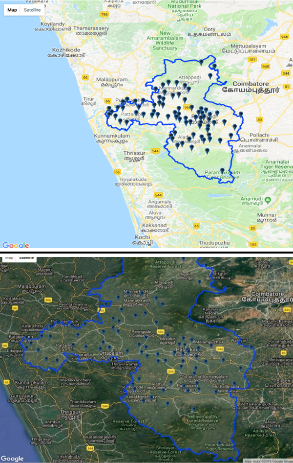
Riddhi has developed a unique map solution, namely, Hybrid Map+ for the users. It provides detailed information of road network, restaurants, hotels, service delivery centres, information about important locations (as available in Google Map API, along with Satellite Imagery view).
What makes the Hybrid Map+ unique is the facility to view administrative boundaries (District / Sub-District / Gram Panchayat / Revenue Village), superimposed on Google Map API. Hybrid Map+ provides facility to integrate attribute data, tagged with administrative units and service delivery points and also to make queries on the dataset for thematic and spatial analysis. The solution is extremely helpful to the administrators for evidence based planning and monitoring.
